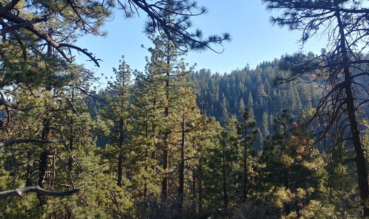
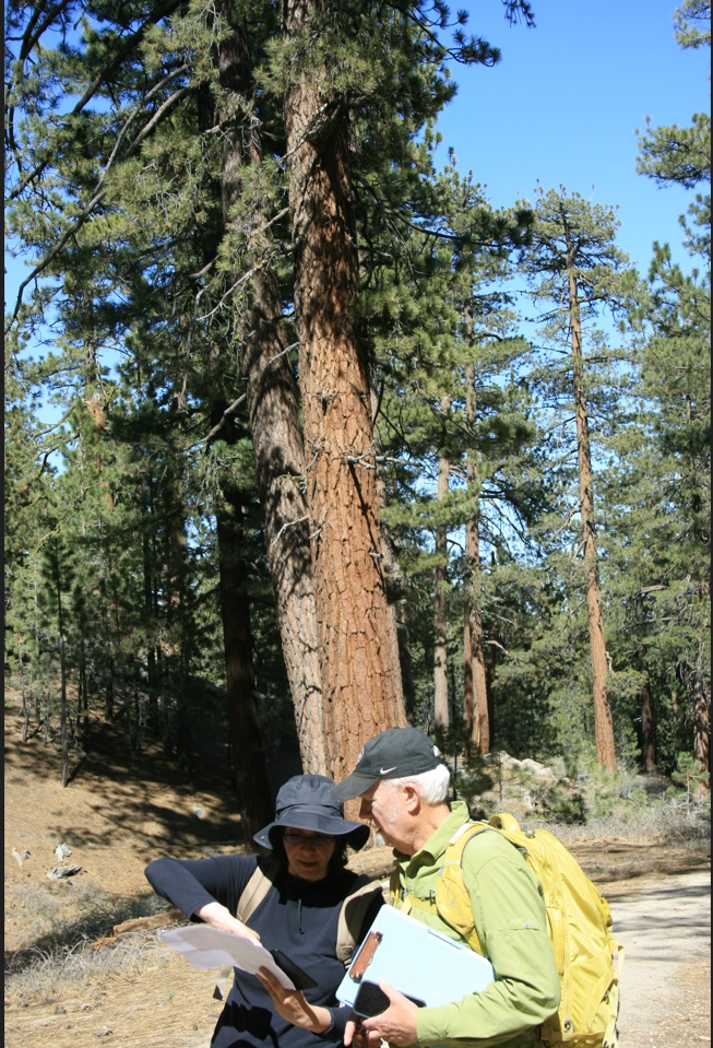
Our last sampling points were far higher in the southern side of the Transverse Ranges. We left behind the wide petroleum extraction fields, where the nodding donkeys pumps or pumpjacks were still working, undaunted by discouragement, and crossed some rural valleys and empty roads searching for the sagebrush behind each curve. After some miles of admiring breathtaking landscapes we drove up to find highland pine and white fir woodlands. We reached 2500 m a. s. l., where only some brave stargazers and squirrels, protesting annoyed by our disturbing presence, had ventured. After the Pacific coast experience, we were so high in altitude, so far from the ocean, that snow still persisted in some hidden and shadowy points. We found an interesting forest clearance opened by a recent fire, and followed the path marked by mice and deer to collect all the samples into the woods.

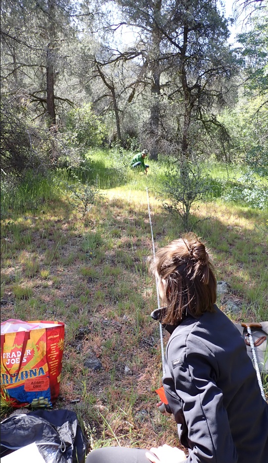
But the last formation, the last point we chased after many frustrated attempts was the manzanita mountain chaparral. We tried to find it without succeed for days, driving up and down in the mountains, walking through almost closed paths, crossing multiple lands once and again… until we found a little patch of manzanita chaparral hidden on a very steep slope. It seemed impossible, it was hard and dangerous, but finally, thanks to our well-coordinated teamwork, we could sample the very last point of our referential transect!